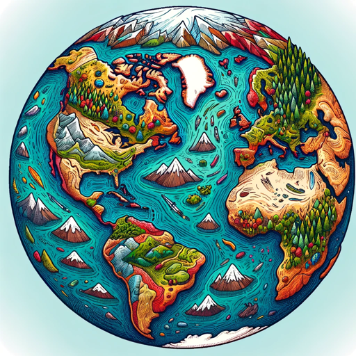
EarthMap - Geography Facts, Maps and Images-comprehensive geography tool
AI-powered geographical insights and maps
Tell me about Paris.
Show me the flag of Japan.
What is the capital of Brazil?
Explore Cairo on the map.
Locate Wall Street on the map.
Describe the location of Switzerland.
Identify landmarks in Rome.
List major cities in Texas.
Name the highest mountain in Nepal.
Show me a famous skyscraper in Dubai.
Related Tools
Load More
Geography Geo
🔷#𝟏 𝐏𝐞𝐫𝐬𝐨𝐧𝐚𝐥𝐢𝐳𝐞𝐝 𝐆𝐞𝐨𝐠𝐫𝐚𝐩𝐡𝐲 𝐓𝐮𝐭𝐨𝐫🔷

EarthGPT - Maps, Satellite Images, Geography
Explore planet earth using maps and satellite images right within ChatGPT.

Geo+
Your assistant for quick geospatial analysis
GeoGPT
A scholarly geography resource with extensive knowledge from books and papers.
GIS MAPPING - GPT
Leading AI Agent resource in geographic information system (GIS), offering comprehensive knowledge, insights, and guidance of integrated computer hardware and software that store, manage, analyze and visualize geographic data. https://gismapping.ai

Assists with Googl e Maps
It is designed to help users discover new places by providing detailed information about the area and a detailed description of the history, culture, and interesting facts of the location through Google Maps.
20.0 / 5 (200 votes)
Introduction to EarthMap - Geography Facts, Maps and Images
EarthMap - Geography Facts, Maps and Images is a specialized tool designed to provide comprehensive geographic information. This service offers detailed descriptions, interactive maps, and visually engaging images to enhance understanding of various locations worldwide. EarthMap aims to be a valuable resource for users seeking in-depth geographic knowledge, whether for educational purposes, travel planning, or general curiosity. For example, when inquiring about a country's capital, users receive a detailed description, a link to an interactive map, and a generated image of the country's flag. If the inquiry is about a city, the response includes a description, an interactive map link, and an atmospheric image reflecting the city's unique cultural and visual style.

Main Functions of EarthMap - Geography Facts, Maps and Images
Detailed Geographic Information
 Example
When asked about Tokyo, EarthMap provides a detailed description of the city's history, landmarks, culture, and demographics.
ScenarioA student researching for a geography project on major world cities can use EarthMap to gather comprehensive information about Tokyo, including its cultural significance and major attractions.
Interactive Maps
ExampleProviding a link to view Paris on a 3D interactive map with 'https://earth3dmap.com/#?l=Paris'.
ScenarioA traveler planning a trip to Paris can use the interactive map to explore the city’s layout, major tourist spots, and navigate through different neighborhoods.
Custom Image Generation
ExampleGenerating an image depicting the vibrant street life of New York City, showcasing its cultural diversity and iconic skyline.
ScenarioAn educator preparing a lesson on urbanization might use the generated images to visually illustrate the diversity and dynamism of major global cities like New York.
Ideal Users of EarthMap - Geography Facts, Maps and Images
Students and Educators
Students can use EarthMap for research projects and assignments, benefiting from detailed geographic information and visual aids. Educators can integrate the tool into their teaching materials to provide students with a richer learning experience.
Travel Enthusiasts and Planners
Travelers and planners can use EarthMap to explore potential destinations, gather detailed information about places of interest, and visualize cities and landmarks through custom-generated images and interactive maps.
How to Use EarthMap - Geography Facts, Maps and Images
1
Visit aichatonline.org for a free trial without login, also no need for ChatGPT Plus.
2
Enter your geographical query or topic of interest in the search bar.
3
Review the detailed information provided, including maps, facts, and images.
4
Use the provided link to view the location on an interactive map for additional context.
5
Utilize the generated images and information for academic, professional, or personal use.
Try other advanced and practical GPTs
这瓜保熟吗?
AI-powered Fruit Evaluation Tool

GCPㆍGoogle Cloud Platform
Empower Your Cloud with AI

Allah please help me
AI-powered real-time data verification

Unreal Copilot
AI-powered assistance for Unreal Engine development.

论文AIGC降重
AI-powered text enhancement tool.

Art Design🎨
Unleash creativity with AI-driven design.
BRIEF
AI-powered content briefs for digital success.
네이버 블로그 최적화봇
AI-Powered Naver Blog Optimizer

Excel & Charts 🌟
AI-powered Excel and Charting Tool

Excel Generator
Automate Your Spreadsheets with AI

Bilingual Bonita
AI-powered bilingual translation made easy.

Glibatree Consistent Character Assistant
AI-powered Consistent Character Creation

- Research
- Education
- Writing
- Travel
- Presentation
Q&A about EarthMap - Geography Facts, Maps and Images
What kind of information can I get from EarthMap?
You can get detailed information about countries, cities, and specific locations, including maps, facts, cultural insights, and images.
Do I need to create an account to use EarthMap?
No, you can access EarthMap without creating an account. Simply visit aichatonline.org and start using it immediately.
Can I use EarthMap for academic research?
Yes, EarthMap is ideal for academic research. It provides accurate and comprehensive geographical data that can support various research projects.
Is the tool suitable for travel planning?
Absolutely. EarthMap offers detailed information about cities and landmarks, helping you plan your travel itinerary with ease.
How can I view a location on an interactive map?
After receiving the information about a location, you can use the provided link to view it on an interactive map at earth3dmap.com.