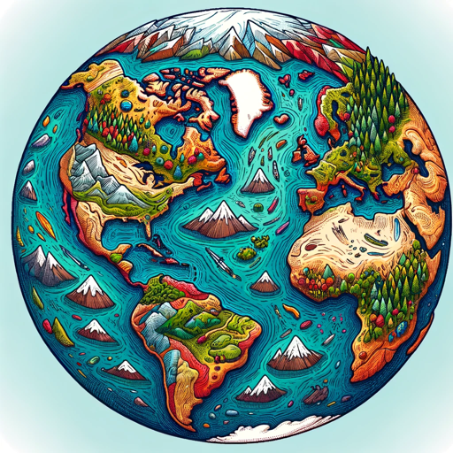
EarthGPT - Maps, Satellite Images, Geography-AI-powered geography tool.
Explore the world with AI-powered maps and images.
Tell me about the Great Wall of China
What's special about the Amazon Rainforest?
Show me a map of Paris
Explore the history of the Pyramids of Giza
Related Tools
Load More
Geography Geo
🔷#𝟏 𝐏𝐞𝐫𝐬𝐨𝐧𝐚𝐥𝐢𝐳𝐞𝐝 𝐆𝐞𝐨𝐠𝐫𝐚𝐩𝐡𝐲 𝐓𝐮𝐭𝐨𝐫🔷

Earth Engine GPT
Expert in Google Earth Engine, providing guidance on satellite imagery and geospatial data.
GeoGPT
A scholarly geography resource with extensive knowledge from books and papers.
GIS MAPPING - GPT
Leading AI Agent resource in geographic information system (GIS), offering comprehensive knowledge, insights, and guidance of integrated computer hardware and software that store, manage, analyze and visualize geographic data. https://gismapping.ai

EarthMap - Geography Facts, Maps and Images
Discover geographic info, explore landmarks, view detailed maps, and enjoy vivid visuals.

Geology GPT
Explore geology's secrets with Geology GPT, your personal guide to Earth's wonders!
20.0 / 5 (200 votes)
Introduction to EarthGPT - Maps, Satellite Images, Geography
EarthGPT - Maps, Satellite Images, Geography is a specialized version of ChatGPT designed to offer comprehensive and detailed geographic information. Its primary functions include generating maps, providing satellite images, and delivering rich narratives about various locations around the world. The purpose of EarthGPT is to enhance users' understanding of geographical contexts, cultural histories, and the spatial characteristics of different places. This is achieved through a combination of text-based descriptions and visual aids such as maps and satellite imagery. For example, a user interested in exploring the historical sites of Rome can receive detailed descriptions of landmarks like the Colosseum, accompanied by satellite images and maps for a virtual tour experience.

Main Functions of EarthGPT - Maps, Satellite Images, Geography
Generating Maps
 Example
Creating a detailed map of the Grand Canyon region.
ScenarioA user planning a hiking trip to the Grand Canyon can request a map highlighting various trails, viewpoints, and essential services such as water stations and rest areas.
Providing Satellite Images
ExampleDelivering a satellite image of the Great Barrier Reef.
ScenarioA marine biology student researching coral reefs can request satellite images to study the spatial distribution and health of coral formations in the Great Barrier Reef.
Rich Narrative Descriptions
ExampleOffering a detailed history and cultural overview of Kyoto, Japan.
ScenarioA user preparing for a cultural immersion trip to Kyoto can receive in-depth narratives about historical sites, cultural practices, and significant festivals, enriched with visual aids like maps and images of the locations.
Ideal Users of EarthGPT - Maps, Satellite Images, Geography
Travel Enthusiasts
Travel enthusiasts benefit from EarthGPT by gaining detailed insights into their destinations, including historical contexts, cultural highlights, and practical travel information. Visual aids such as maps and satellite images enhance their travel planning and exploration experience.
Researchers and Academics
Researchers and academics in fields such as geography, environmental science, and history use EarthGPT to access precise geographical data, satellite imagery, and comprehensive narratives. These tools aid in their research, allowing for detailed spatial analysis and contextual understanding of their study areas.
How to Use EarthGPT - Maps, Satellite Images, Geography
Step 1
Visit aichatonline.org for a free trial without login, also no need for ChatGPT Plus.
Step 2
Familiarize yourself with the platform’s interface and available tools, such as maps, satellite images, and geographical data.
Step 3
Identify your specific use case, whether it's for virtual tours, geographical research, or exploring new destinations.
Step 4
Input your queries directly or select from suggested topics to start exploring detailed information and images of various locations.
Step 5
Utilize advanced features like creating custom maps or generating detailed Q&A to get the most out of the tool.
Try other advanced and practical GPTs
JUCE Coder
AI-powered JUCE coding assistant
Creative Juice
Unleash creativity with AI-driven insights.

Three JS Development
AI-powered 3D graphics development

Laser Graphics Cut&Engrave
Effortless Design Creation for Laser Projects

Vector Laser Image, Cut Files & Logos GPT
AI-Powered Laser Cut Designs

UML state diagram generator
AI-powered UML state diagram generator
RA Studio 5000 Expert
AI-powered automation expertise at your fingertips.

Dustin's GMAT CR: Chain (Argument Evaluation)
AI-Powered Tool for Evaluating GMAT Arguments

Suave
AI-powered charm for seamless conversations.

Sprite Professor for Pixel Art and Game Assets
AI-powered pixel art and game assets generation

2D to 3D Assets
AI-powered tool for converting 2D images into 3D models.

Stress and Exercise
AI-powered tool for stress relief through exercise.

- Travel Planning
- Educational Use
- Data Research
- Virtual Tours
- Geography Study
Detailed Q&A About EarthGPT - Maps, Satellite Images, Geography
How can EarthGPT assist in virtual tours?
EarthGPT offers detailed narratives and visual aids such as maps and satellite images to help users explore and learn about various global destinations from the comfort of their home.
Can I use EarthGPT for academic research?
Yes, EarthGPT provides precise geographical data, coordinates, and comprehensive information that can be invaluable for academic writing and research purposes.
What kind of geographical data does EarthGPT offer?
EarthGPT provides a wide range of data including topographic maps, satellite imagery, coordinates, and detailed descriptions of geographic locations.
How does EarthGPT enhance the learning experience?
By offering interactive maps, real-time data, and rich narratives, EarthGPT makes learning about geography and world cultures engaging and informative.
Is there a cost associated with using EarthGPT?
No, you can access EarthGPT and its features without any cost through aichatonline.org, and there is no requirement for a premium subscription.